3D Laser Scanning
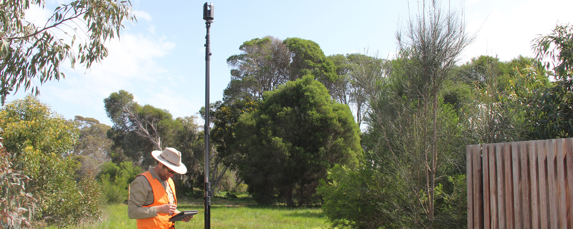
At Smith Land Surveyors we provide a high resolution 3D Laser Scanning service enabling your designers and engineers to capture and measure all 3D survey points on your project, including intricate details, hidden cavities and hard to reach surfaces. These points can then be used to create a full-colour 3D model in your preferred CAD, BIM, VR or AR application.
How does it work?
Our 3D Laser Scanner shines a reflectorless laser beam over the surfaces of your site, collecting millions of accurate-dense 3D points. These survey points are combined to form your project’s 3D ‘point cloud’, resulting in a 3D raw data scan of your site. After the laser survey scan, our team of land surveyors filter through the information, eradicating any irrelevant data to supply you with highly accurate point cloud data.
What are the benefits of 3D Laser Scanning?
Avoid Call Backs
Detailed data collection is captured all at once, avoiding call backs for missed data, saving you time and money.
Reduce Construction Changes
Highly accurate data generates reliable plans, reducing the need for on-site changes at construction stage.
Minimise Site Disruption
The speed and mobility of a laser scan minimises disruption to site.
Data You Can Trust
Laser scanning technology records millions of accurate dense 3D points down to the millimetre, providing you with absolute certainty when you reach design stage. For complex structures and large projects it provides greater accuracy than traditional methods.
Quality Visualisations
Your point cloud data can be transformed into realistic visualisations, giving you a data rich ‘photo’ of your site. A fly-through visualisation can also be generated, providing you with increased options for analysis.
Reduce Safety Risk
Using reflectorless laser scanning techniques increases site safety, our survey team can capture inaccessible areas without entering health and safety risk zones.
Real Time Data
Scanning software allows you to check your scan data in the field
Archive Data
You’ll always have the original point cloud data of your project to refer to, reducing future interpretation errors or assumptions, particularly useful if part or all of your structure no longer exists.
How can I use 3D Laser Scanning on my project?
Laser scanning is fast becoming the preferred survey choice for building, engineering and infrastructure projects in Geelong, Melbourne and surrounding areas given the speed, accuracy and flexibility of the technology.
3D Laser scanning technology can be applied to a range of projects including:
Feature surveys for design
Monitoring Surveys
Cross section creation
Internal Surveys and floorplan surveys
Heritage Building Assessments
BIM (Building Information Models)
Reverse engineering
Visualisations for design or planning issues
Plant & facility management – Oil, gas, refineries & pipelines
Infrastructure – Roads, rail, bridges & tunnels
Request A Quote
At Smith Land Surveyors our team of licensed surveyors can help you manage and plan for your next project using our Leica 3D Laser Scanner. You will be provided with your own highly accurate point cloud, giving you the insight you need to move forward.
Contact us today to discuss your project’s requirements with our survey team.